Volume and tonnage per pile
Volume against your base survey, and tonnage using the bulk density factor you supply. Comes after each weekly flight and ties to the comparison rows on volume and on tonnage.
The walk-the-pile surveyWith Stockpile Volume
Weekly flights turn every stockpile into a surface model and a volume you can put in the reconciliation. The walk-the-pile round stays as your formal check.
The formal survey gets done at month-end, and the crew walks every pile with the rover, toe and crest, on material that can slump. It takes the crew off other work and puts a person on the pile. Then you build the surface, difference it against the base survey and apply the bulk density.
In between, the yard runs on the loader operators' eyeball estimates. When the reconciliation comes up short at month-end, nobody can say which week the gap opened, and you can't send a crew back for last Tuesday.
| Step | The walk-the-pile survey | With Stockpile Volume |
|---|---|---|
| 01Getting on the pile | The walk-the-pile surveyA crew with an RTK rover walks the toe and crest of each pile, and on a pile that might slump that is the part nobody likes. | With Stockpile VolumeA drone or crewed aircraft flies the yard and nobody climbs anything. The pile surface is built from the photos. |
| 02Setting the pile boundary and control | The walk-the-pile surveyThe toe gets picked up on foot and control is shot in as the crew goes. | With Stockpile VolumeYou mark the pile boundaries and the ground control once. After that each flight is tied to the same markers. |
| Still yoursKeeping the ground control in place and surveyed. The numbers are only as good as the control. | ||
| 03Building the surface | The walk-the-pile surveyThe surveyor builds a triangulated surface from the points the crew picked up, in the mine planning package. | With Stockpile VolumeA photogrammetric surface is built over the whole pile from the flight, and you can download it as a point cloud or mesh. |
| 04Volume against the base survey | The walk-the-pile surveyYou difference the new surface against the base survey for that pile, by hand in your own software. | With Stockpile VolumeThe surface is differenced against your base survey for you, and a volume comes back per pile. |
| 05Volume to tonnage | The walk-the-pile surveyVolume times the bulk density factor, worked in the reconciliation sheet. | With Stockpile VolumeThe same conversion, with the bulk density factor you give us. |
| Still yoursThe bulk density. A photo of the surface can't tell you what the material weighs, and we don't pretend otherwise. | ||
| 06How often you get a number | The walk-the-pile surveyOnce a formal survey round is done, and eyeball estimates between rounds. | With Stockpile VolumeA volume and a change figure per pile after every weekly flight, so a gap shows up in the week it opens. |
| 07The sign-off | The walk-the-pile surveyYou sign the month-end volume, reconcile it and put it in the reserve report. | With Stockpile VolumeYou sign the same number, with a weekly history behind it. |
| Still yoursThe sign-off, the reconciliation and the reserve report. | ||
Per pile
Volume against your base survey, and tonnage using the bulk density factor you supply. Comes after each weekly flight and ties to the comparison rows on volume and on tonnage.
Point cloud / mesh
The downloadable 3D surface of each pile from each flight. Open it in your own survey package and check it against your own pickup.
Change per pile
What each pile gained or lost since the last flight. This is what lets you find the week a reconciliation gap opened.
Sheet-ready export
The figures laid out so they drop into the reconciliation sheet you already use, pile by pile.
Mark the piles and control once. After that, flights run weekly and each one comes back as numbers and a surface, so month-end is a matter of signing what you already have.
You mark each pile's boundary and the ground control, once, and give us the base survey and the bulk density factor for each material.
A drone or crewed aircraft flies the yard, in daylight and workable weather.
We build the photogrammetric surface and difference it against your base survey.
Each pile comes back with its volume, its tonnage at your density and its change since the last flight, plus the surface model to download.
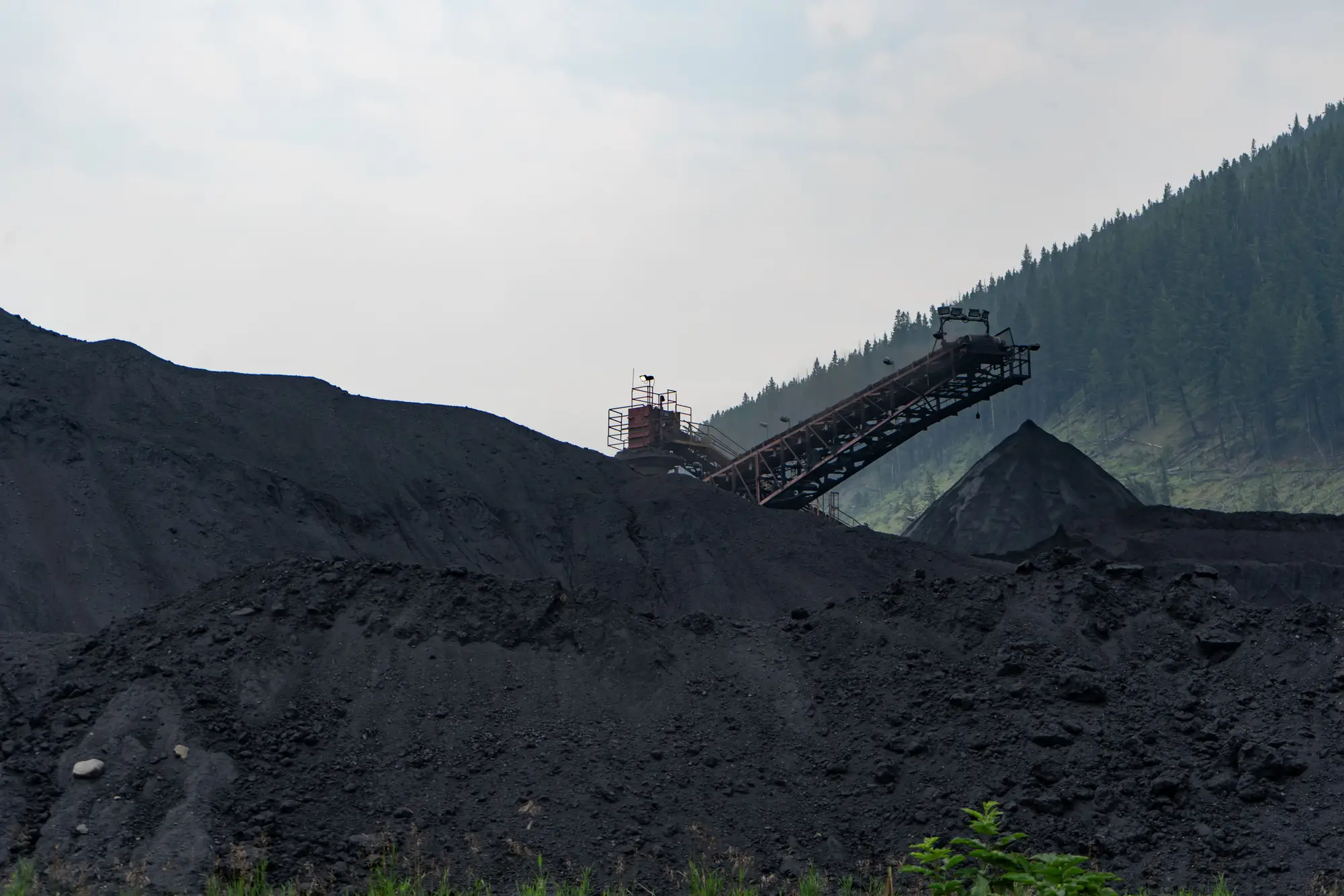
It sits between the loader operators' estimate and the month-end survey. Use the weekly figure to catch a gap early, and keep your formal survey as the number you sign.
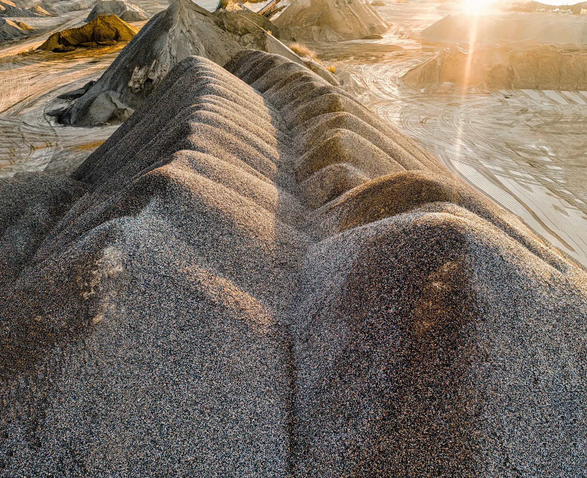
Flights need daylight and workable weather. A storm week can delay a pass. The cadence is a target and not a promise of a flight on a given day.
The surface shows the geometry of the pile. It says nothing about what is inside, how wet the material is or what it weighs. You supply the bulk density factor, and tonnage is only as good as that factor.
The numbers lean on ground control that you keep in place and surveyed. Without it we can't tie one week to the next, and we won't call the result survey-grade.
The camera sees only what the sky sees. Dust in the air at flight time, standing water or a tarp over the surface is what the model gets. Flights are scheduled around dust where they can be.
With a pixel under 10 cm, the shape of a pile, its toe and its slopes are plain. Fine detail such as a hairline crack in the crest or a void under an overhang is not resolved.
It replaces the walk on the pile. The sign-off and the reconciliation remain yours, and you can keep a crew survey as the check.
Pick a pile your crew has just picked up, send us the boundary, control and base survey, and compare our volume with yours.
No. You supply the factor. The flight measures surface geometry only.
A flight can slip in a storm week. The weekly cadence is a target, and we don't promise a flight on a fixed day.
No. It sees what is on the surface at flight time. We schedule around dust where we can.
No. It is surface volume times your density factor, and nothing more.
A point cloud or mesh of the surface and a sheet-ready export of the figures. We don't write into your planning package.
Ownership and licence terms are agreed in writing when you get started. If legal needs them earlier, ask.
Pricing is handled by a person, not on this page. Tell us about your yard and we will come back to you.
Send us the boundary, the control and the base survey for one pile. We'll tell you what the flights can show.